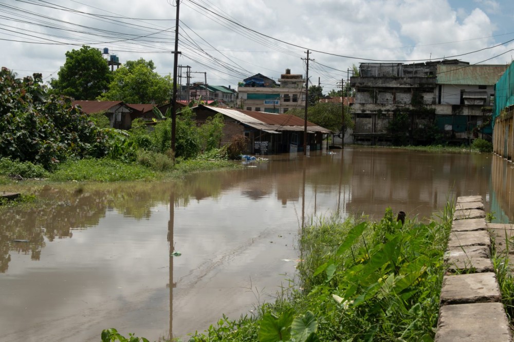
Accumulated floodwaters at a locality in Dimapur after the recent spell of heavy rains. (Morung File Photo)
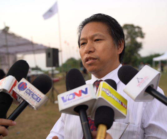
Dimapur, August 10 (MExN): The recurring flood crisis in Dimapur and Chümoukedima is largely a result of human interference with river systems and natural drainage networks, according to Er Ghunavi G Kinimi, Sub Divisional Officer of the Water Resources Department, Nagaland.
In an assessment based on satellite imagery and field assessments by engineers of the department, Kinimi attributed the recurring flooding to “unchecked riverbed exploitation, encroachment, and improper project execution.” Kinimi said historical satellite imagery along the Chathe River and its tributaries, stretching from Peren district through Chümoukedima to Dimapur, indicates significant changes in the river's course and behaviour.
According to the assessment, extensive and unregulated riverbed mining has removed natural bed material from the river, resulting in changes to its course, particularly below the Patkai 4th Mile Bridge. This, he said, has contributed to bank erosion, damage to land and property, and flooding in downstream settlements.
The disruption to the river's natural flow also contributes to flooding in urban areas, Kinimi said. During periods of heavy rainfall, altered river channels can result in a rapid rise in water levels and velocity.
When river levels rise sufficiently, he explained, water can flow back into major town drains and nallahs in Dimapur and Chümoukedima. “Instead of rainwater draining away into the river, the river water surges back into our streets and homes,” he stated.
Kinimi also pointed to encroachment of natural drainage channels as a major factor worsening flooding within the towns. He said several natural drainage paths and nallahs have been encroached upon by buildings and other structures, restricting the movement of water.
“With natural drainage channels blocked and constricted, water has nowhere to flow,” he said, adding that this can leave urban areas inundated even following routine rainfall events.
The SDO also raised concerns over construction in areas that are naturally vulnerable to periodic flooding. He said engineering structures are generally designed according to standard flood return periods of 10, 25, 50 or 100 years.
However, he said satellite records indicate that some constructions and barriers have been established on land that rivers naturally reclaim during recurring cycles.
“When we build walls, houses, and obstacles directly in the river’s natural path, nature will eventually take its own course and reclaim that space,” Kinimi stated.
Another issue identified was the involvement of agencies without specialised expertise in the implementation of river and flood management projects.
Kinimi said river training, anti-erosion works and flood-control measures require specialised hydraulic and hydrological expertise. According to him, when such works are undertaken without appropriate technical design, projects can fail to address the underlying causes of flooding, resulting in repeated expenditure without a permanent solution.
“The recurring flood crisis in Dimapur and Chümoukedima is not an unsolved mystery,” Kinimi said, arguing that the problem can be addressed through appropriate engineering expertise and better management of river systems.
He called for an end to illegal riverbed mining along the Chathe River, removal of illegal encroachments from urban drains and nallahs, and greater respect for natural floodways and high-risk flood zones.
Kinimi further recommended that flood control, river training and drainage projects be entrusted to the Water Resources Department so that they can be designed and implemented by engineers with specialised expertise in water and river management.
“Nature will always follow its own laws,” he said, adding that respecting river hydrology and placing specialised technical expertise at the centre of flood management could help protect residents from recurring flood damage.