Dignitaries and others after unveiling Geospatial guide map of Kohima village on August 28.
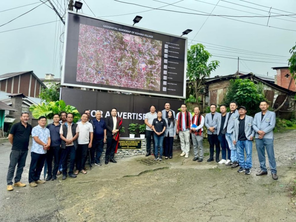
Kohima, August 28 (MExN): The Lhisemia Youth Organisation (LYO) in collaboration with the Nagaland GIS & Remote Sensing Centre (GIS & RSC) today unveiled the Geospatial Guide Map of Kohima Village at Lhisemia Junction.
The unveiling programme was graced by Mr. Mhathung Kithan, Senior Project Director, Nagaland GIS & Remote Sensing Centre, who officially launched the guide map.
Kithan highlighted the importance of community collaboration and the impact of GIS technology at the grassroots level, while appreciating the dedicated efforts of the LYO and the Lhisemia community in making the project possible.
The newly installed guide map not only provides accurate geospatial details of Kohima village (the second largest village in Asia) but is also equipped with QR code navigation, allowing residents and visitors to digitally access directions, landmarks, and other vital information directly on their smartphones. This innovative feature makes the project both user-friendly and future-ready, blending tradition with modern technology.
Earlier, the programme started with an opening prayer by Pastor Kezhakietuo Belho.
The programme concluded with vote of thanks delivered by Ayie Yhome, Chairman of the Lhisemia Council, who expressed gratitude for the collective efforts of LYO and the Nagaland GIS & Remote Sensing Centre in making the project a reality.
The unveiling marks yet another milestone in leveraging modern geospatial tools for preserving heritage, promoting accessibility, and guiding the future development of Nagaland’s capital village.