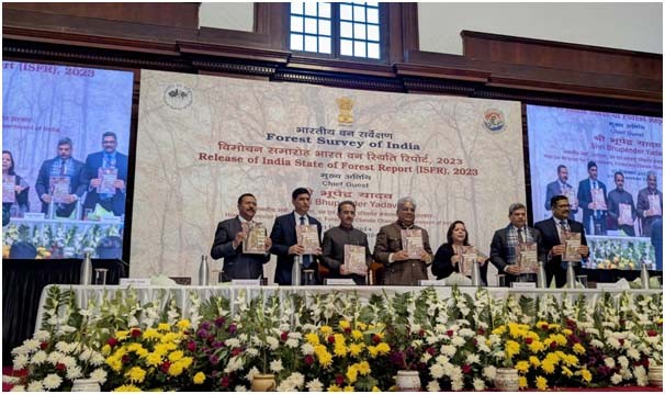
Union Minister for Environment, Forest and Climate Change, Bhupender Yadav and others during the release the ‘India State of Forest Report 2023 (ISFR 2023) at Forest Research Institute, Dehradun on December 21. (PIB Photo)
Morung Express News
Dimapur | December 21
Nagaland lost a total of 125.22 square kilometres of forest and tree cover during the 2019-23 period, informed the ‘India State of Forest Report 2023’ (ISFR), ranking as the fourth highest among the states in India.
The maximum decrease in forest and tree cover was observed in Madhya Pradesh (612.41 km²), followed by Karnataka (459.36 km²), Ladakh (159.26 km²), and Nagaland, reflected the report released by the Forest Survey of India (FSI) on December 21.
This is the second consecutive decline for Nagaland, as the ISFR 2021 also highlighted that the state recorded a 235 km² decline in forest cover during the 2019-21 period
Between 2013 and 2023, the Forest Cover in Nagaland has decreased from 13,017.35 sq km to 12,222.47sq km representing a loss of 794.88sq km. Out of this, 360.22sq km decline was reported from 2019-2023.
The maximum increase in forest and tree cover was recorded in the states of Chhattisgarh (683.62 km²), followed by Uttar Pradesh (559.19 km²), Odisha (558.57 km²), and Rajasthan (394.46 km²), the report added.
Meanwhile, releasing the 18th biennial report, the Union Minister for Environment, Forest and Climate Change, Bhupender Yadav, expressed happiness over the fact that, compared to 2021, there is an increase of 1,445 km² in the total forest and tree cover of the country.
He also highlighted the near real-time fire alerts and forest fire services provided by the FSI using advanced technology, as per a PIB release.
The ISFR report contains information on forest cover, tree cover, mangrove cover, growing stock, carbon stock in India’s forests, instances of forest fire, agroforestry, etc.
As per the present assessment, the total forest and tree cover is 8,27,357 km², which is 25.17 percent of the geographical area of the country. The forest cover accounts for an area of about 7,15,343 km² (21.76%), whereas the tree cover accounts for 1,12,014 km² (3.41%), the release added.
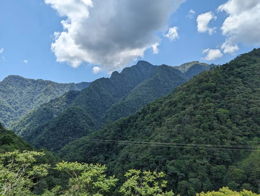
The report also revealed that 19 states/UTs have above 33 percent of the geographical area under forest cover. Out of these, eight states/UTs namely Mizoram, Lakshadweep, A & N Island, Arunachal Pradesh, Nagaland, Meghalaya, Tripura, and Manipur have forest cover above 75 percent.
The North-East states, comprising eight states, namely Arunachal Pradesh,Assam, Manipur, Meghalaya, Mizoram, Nagaland, Sikkim, and Tripura, boasts of country’srichest forest resources, the report said.
It is acknowledged as one of India’s four prominent biodiversityhotspots and covering 7.98% of the nation’s land area, this region accounts for21.08% of the total forest and tree cover in the country, it added.